Maps
Navigate the Township of West Lincoln
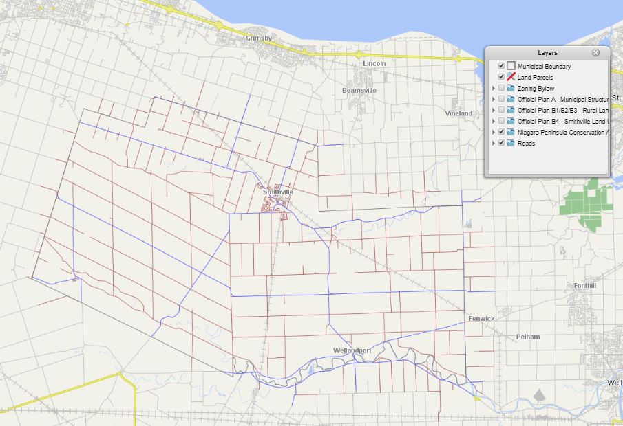
The Township of West Lincoln has launched an interactive map for use by residents, visitors, businesses and investors. Explore this map to learn more about West Lincoln.
The map has different layers of information to help you get to know the municipality. Layers will be updated as needed. Examples of layers include Zoning, Roads (Municipal and Regional), Land Parcels, Municipal Boundary, Rural Land Use and more. These layers can be included or excluded simply by clicking on and off an option. To further customize the map, you can select specific options in the drop-down menu (using the arrow) for each layer. For example, Types of Roads.
I'd Like To...


 Subscribe to this page